Float Travis
Lake Travis' boating app. Learn your way around Lake Travis. Find marinas, boat launches, restaurants, and more. Save your favorite spots and share them with friends.
The essential Lake Travis boating companion - find ramps, fuel, restaurants, and hidden spots with ease.


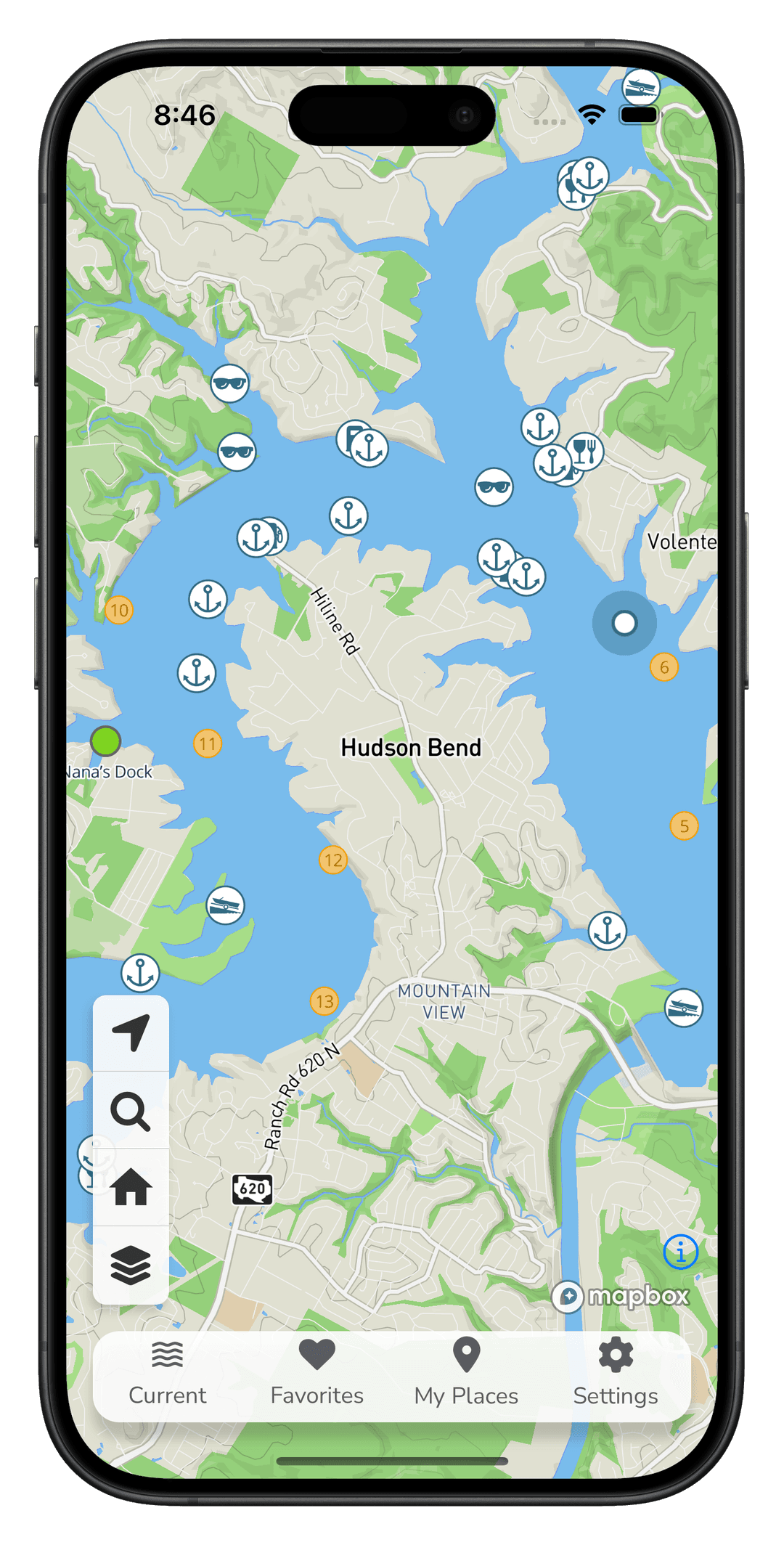
Personalize Your Experience with Favorites and Places
- Favorites
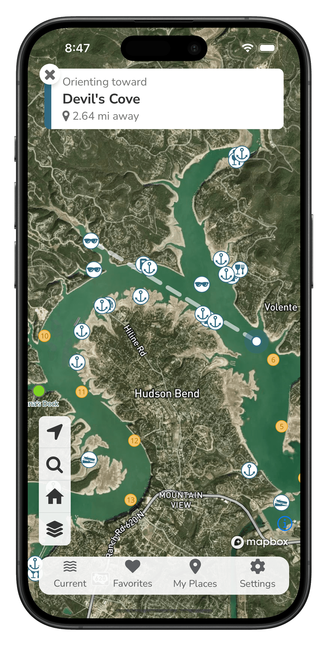
- Save your favorite marinas, boat launches, restaurants, and other points of interest for easy access later. With favorites you can quickly orient to your preferred spots without searching every time.
- Places
- Create and customize your own places on the map. Whether it’s a quiet cove for relaxation, a prime wake surfing area, or a popular hangout spot, places allows you to mark and personalize locations important to you.
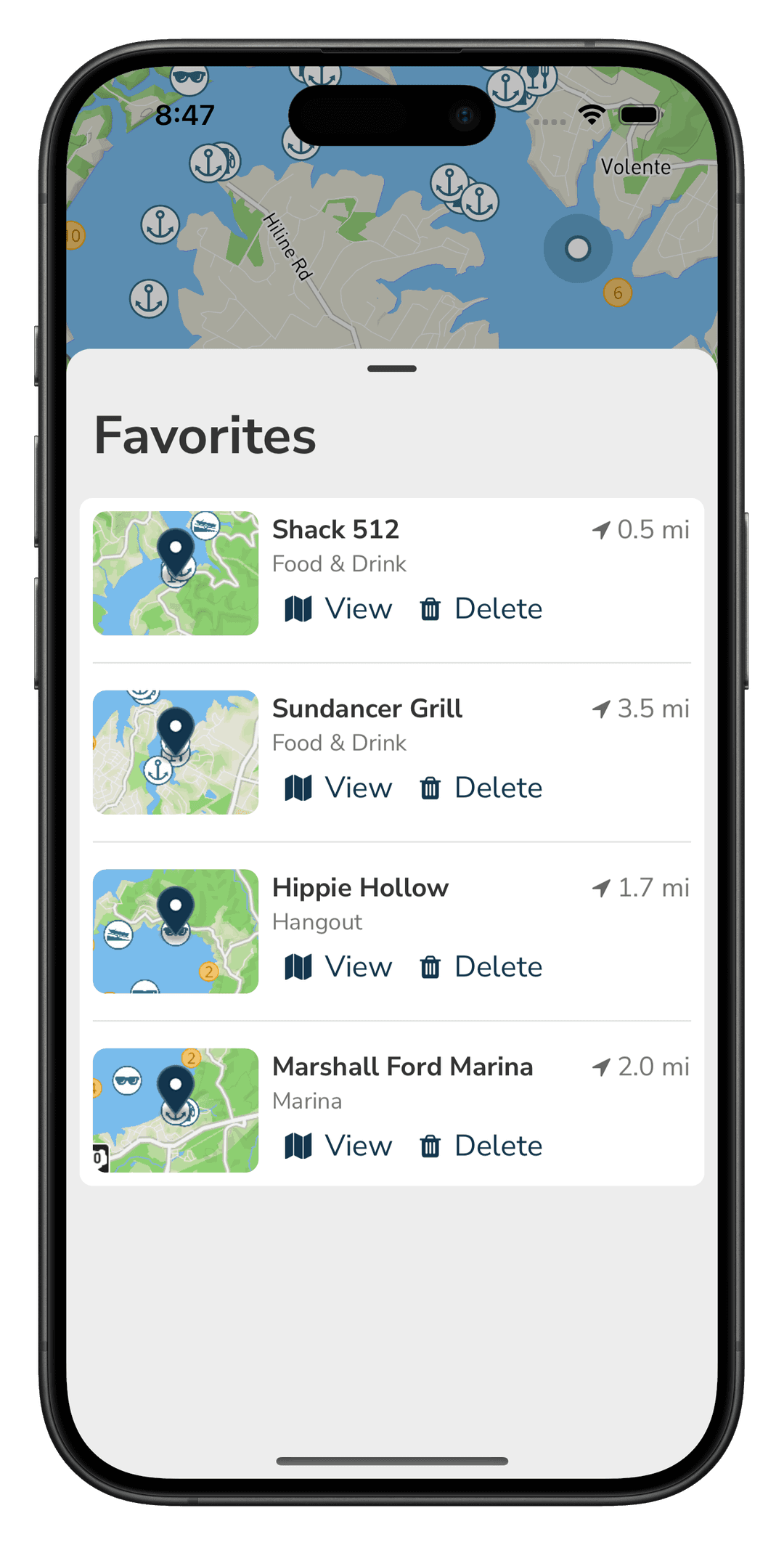
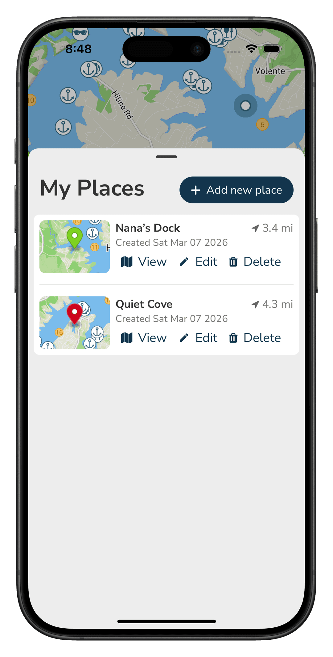
Find Your Way
- Locate Yourself Instantly
- See your exact location on the map to orient with ease.
- Choose Your Map Style
- Choose from various base maps to find the view that best suits your needs, whether it’s a standard map, satellite imagery, or a dark mode map for nighttime adventures.
- Map Overlays
- Toggle on and off overlays to see additional information on the map. Overlays include fuel docks, boat launches, navigational markers, and more.
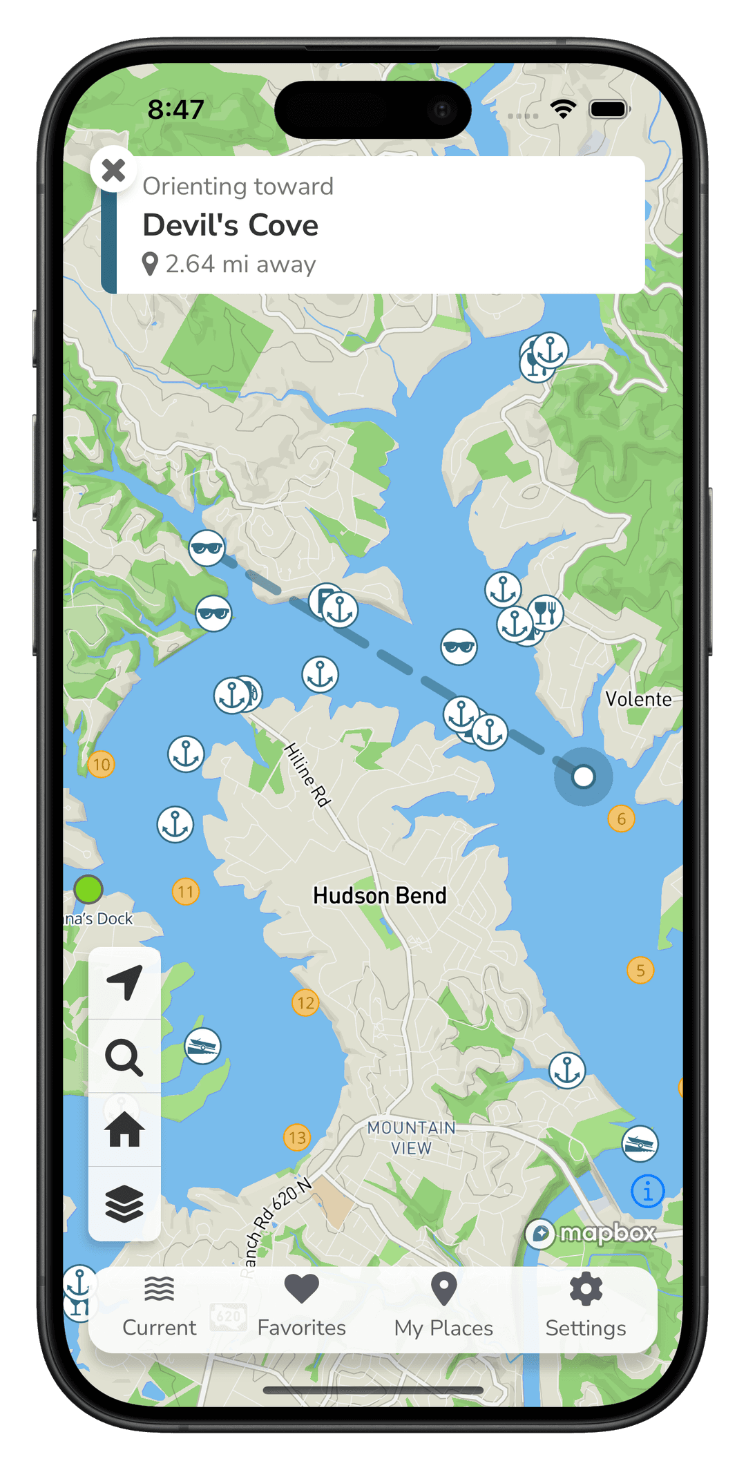
Go further with Float+
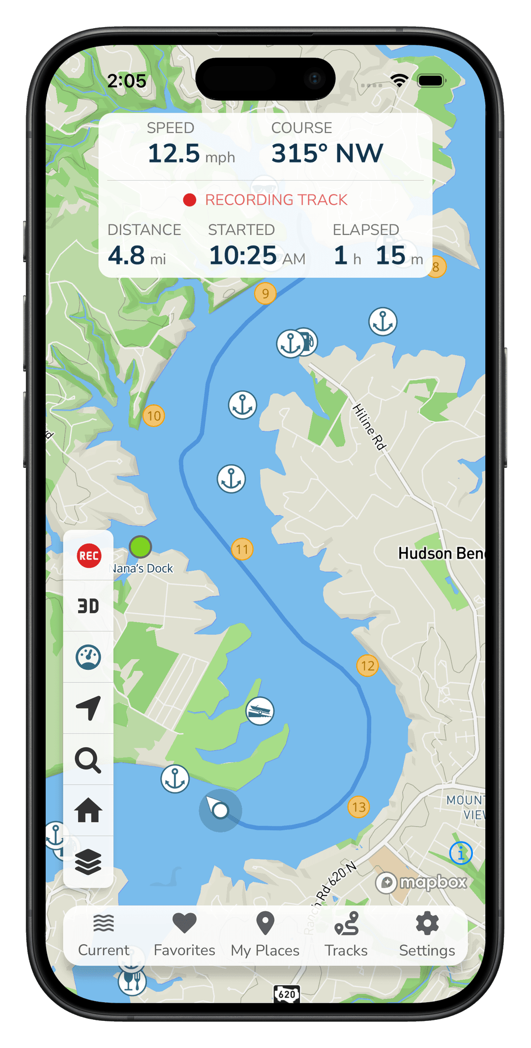
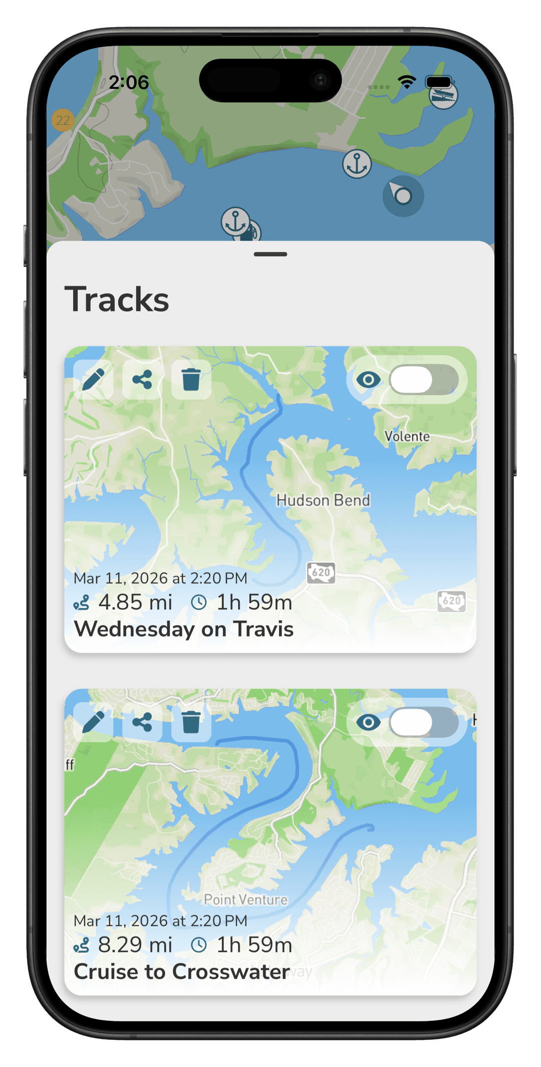
iOS onlyRecord your day on the lake with Tracks. See your path, distance, and time, and view past tracks right on the map. Float+ is available exclusively on iOS.
- Track your trips on the water
- View interactive maps of your routes
- Go Live: share your location with friends using a link or code - in the app or on the web
- 3D maps that change perspective and follow your course
- Sync and back up to all your devices

Points of Interest
Discover marinas, restaurants, fuel docks, and other essential locations around Lake Travis. Each point is carefully curated to enhance your boating experience.
Marinas
Anderson Mill Marina
Sandy Creek Marina
Briarcliff Marina
+20 more
Food & Drink
Beachside Billy's
The Lighthouse Restaurant
Captain Pete's Boathouse
+4 more
Hangouts
Zipline Cove
Devil's Cove
Starnes Island
+4 more
Fuel Docks
Crosswater Yacht Club
Marshall Ford Marina
Sandy Creek Marina
+7 more
Boat Launches
Muleshoe Bend Boat Launch
Pace Bend Tournament Point
Sandy Creek Boat Launch
+8 more